Scenario 01
Benthic sediment
Simulated for the Nauru-sponsored NORI D licence area. The model tracks disturbed particles near the seabed.
- Location
- NORI D / CCZ
- Pathway
- Collection disturbance
Water column
Seabed
Method schematic · not a model output
The science / 2022 scenarios
Blue Peril uses oceanographic modeling to explore potential sediment dispersal in the Clarion–Clipperton Zone.
Two distinct pathways
The published technical note is the primary source for the scenarios below.
Scenario 01
Simulated for the Nauru-sponsored NORI D licence area. The model tracks disturbed particles near the seabed.
Method schematic · not a model output
Scenario 02
Simulated in the Tonga-sponsored licence area, with tracers released at 1,062 metres. The campaign reports a three-month pathway toward Hawaiʻi and the northern Line Islands.
Method schematic · not a model output
These are conditional predictions, not observations of existing pollution. Current estimates, settling rates and sediment production introduce uncertainty; the note identifies gaps in deep-ocean measurements.
How the analysis is assembled
The note uses GLORYS / Copernicus Marine reanalysis.
OpenDrift follows tracers through the modeled flow.
The film translates the scenarios into a visual investigation.
Research context
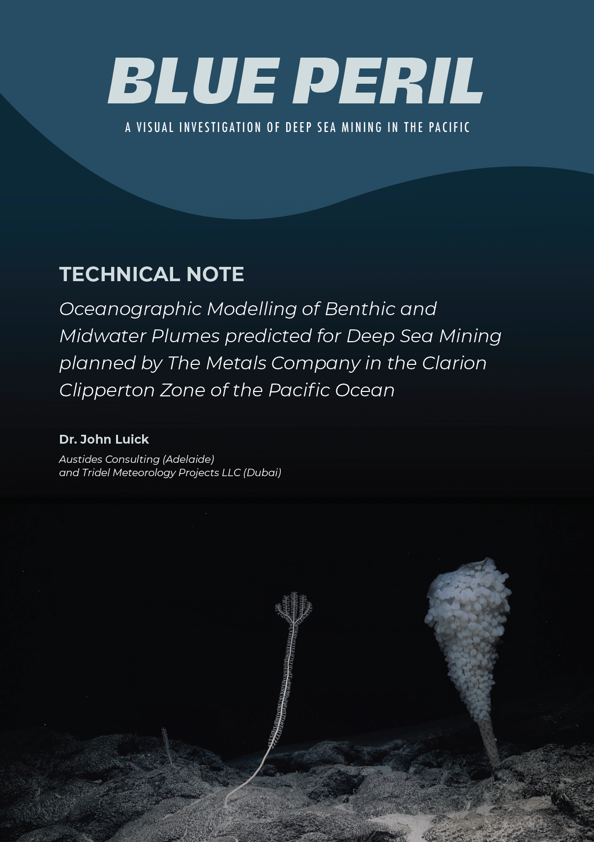
PDF · 2022
The oceanographic methods and assumptions behind the plume scenarios.
Read the technical note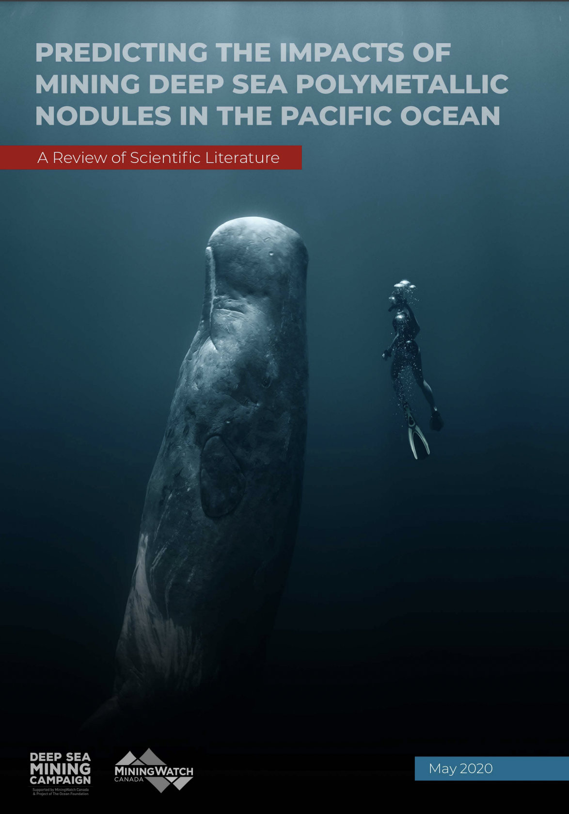
PDF · 2020
Predicting the impacts of mining deep-sea polymetallic nodules in the Pacific Ocean.
Read the report
PDF · 2019
A campaign report on the financial and institutional context of seabed mining in the Pacific.
Read the report